Ways to Get Around
Arlington, Virginia is one of the best places in the United States to go car-free. The reason? There are so many transportation options.
- ART - Arlington Transit is Arlington's local bus system. ART connects Arlington neighborhoods to each other and to Metrorail using environmentally-friendly, compressed natural gas vehicles.
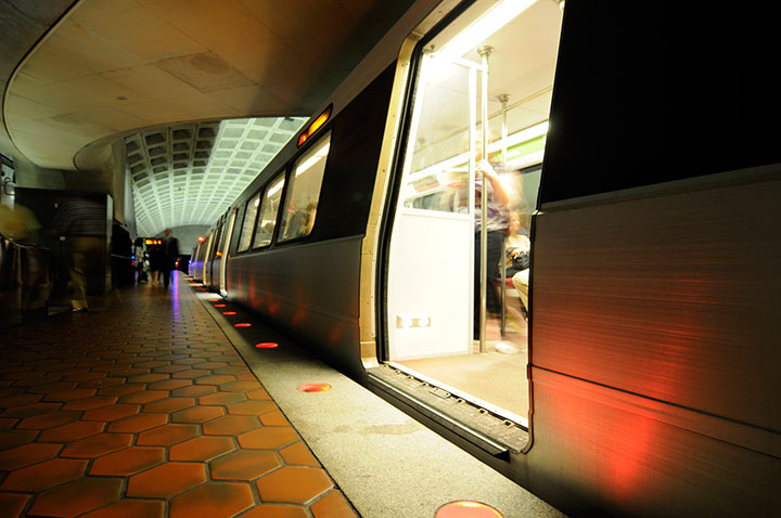
- Metrorail is the region's subway/rail system. Arlington has 11 stations on Metrorail's Orange, Silver, Blue, and Yellow lines.
- Metrobus is the Washington, D.C. area's regional bus system, with about 200 named routes in the region, and many more route variations. Metrobus operates more than 20 routes on Arlington's main streets.
- Walking infrastructure in Arlington includes wide sidewalks, miles of multi-use trails, and countdown signals at many intersections, so pedestrians know how much time they have to cross.
- Bicycling is a healthy, inexpensive and environmentally responsible way to go. In Arlington, it's easy too — with multi-use trails, protected bike lanes, and sharrows.
- Shared Mobility Devices include Capital Bikeshare, a program that serves Arlington, the District of Columbia, Alexandria, Fairfax County, Prince George's County, and Montgomery County, and dockless scooter and bicycle services.
- Car-sharing gives you the use of a car when you need it, without the hassle and expense of owning a car. Zipcar has cars available to members throughout Arlington.
- Carpooling and vanpooling mean fewer cars on the road. Sharing rides is good for the environment, and can also be better for your wallet by allowing you to travel for free in High Occupancy Vehicle (HOV) lanes.
- Taxicabs, Uber, and Lyft are great options to have available when you're car-free, or when you use a carpool or transit for your commute, but need to make a quick trip during the day.